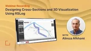
Webinar Recording - Streamlining Borehole Data Management with RSLog's Latest Capabilities
Presented by Alireza Afkhami, Senior Manager Web Applications at Rocscience, this webinar dived deep into -
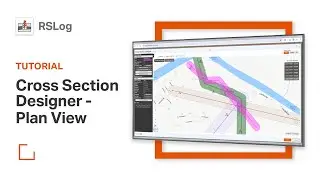
Introducing a more powerful Cross-Section Designer
Viewing geology maps and historic boreholes on RSLog's GIS Map
Using the Pre-Investigation Planner to manage subsurface investigations
Exporting borehole data to Civil3D, Google Earth, Excel and more
Versatile coordinate systems for borehole and project location mapping
Importing gINT and Wincore files to RSLog