Trimble Access Tip | Mapping Underground Utilities
#Trimble #TrimbleAccess #gis #mapping #shorts
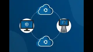
This video describes how to connect Trimble Access field software to your underground utility locator, so you can store two measurements - a ground point, and the vector to your underground asset measurement.
For more info on Trimble Access visit: https://geospatial.trimble.com/produc...