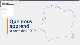
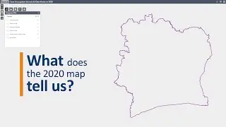
2020 land-cover map of Côte d'Ivoire
Find out more about this free spatial information tool that will contribute to the transparency of land use in Côte d'Ivoire.
As part of the implementation of its National Strategy on Sustainable Cocoa, the Government of Côte d'Ivoire has produced a 2020 national land-cover map, with technical and financial support from the European Union.
With the emergence of new requirements for the production and trade of agricultural products (the African Standard for Sustainable Cocoa – ARS 1000 – and the European Union Deforestation Regulation – EUDR – on cocoa, coffee, rubber and oil palm, among others), the national land-cover map is an essential tool for helping operators in meeting compliance obligations. This map has been produced using robust methodology based on satellite images, the latest spatial data processing technologies and field data.
In this video, you will find answers to the following questions: What is a national land-cover map? What is the purpose of a land-cover map and who is it intended for? How was this map produced and by whom? What can we learn from the 2020 map? How can it contribute to transparency in Côte d'Ivoire's agricultural sector and the fight against deforestation?
Video editing and animation : tripwirevideo.com
#map #landuse #EUDR
🔍 Find out more
▪️ Visit the visualisation platform for the 2020 land-cover map of Côte d'Ivoire. You will find the raster version of the map as well as other useful resources – https://africageoportal.maps.arcgis.c...
▪️ Find out more about the role of spatial information for due diligence under the EU Deforestation Regulation – https://efi.int/sites/default/files/f...
🔗 Contact us
▪️ Follow us on X - https://x.com/EFIpartnerships
▪️ Subscribe to our YouTube channel - / europeanforest