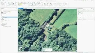
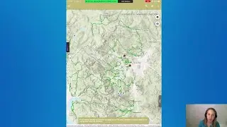
How To: Extract Roads from Satellite Imagery Using arcgis.learn
Learn how to use the RoadExtraction model in arcgis.learn to extract roads from satellite imagery.
What is the arcgis.learn module?
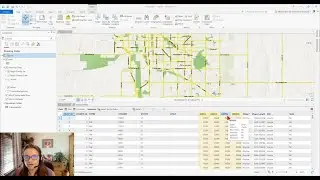
The ArcGIS API for Python includes the arcgis.learn module that makes it simple to train a wide variety of deep learning models on your own datasets and solve complex problems. It includes over fifteen deep learning models that support advanced GIS and remote sensing workflows. Additionally, these models support a variety of data types – overhead and oriented imagery, point clouds, bathymetric data, LiDAR, video, feature layers, tabular data, and unstructured text.
Learn more about the MultiTaskRoadExtraction model: https://developers.arcgis.com/python/...
Learn about the deep learning models available within the arcgis.learn module: https://go.esri.com/l/82202/2021-01-1...
Learn more about the ArcGIS API for Python:
https://go.esri.com/l/82202/2021-01-1...
---------------------------------------------------------------------------------------------------
Follow us on Social Media!
Twitter: / esri
Facebook: / esrigis
LinkedIn: / esri
Instagram: / esrigram
The Science of Where: http://www.esri.com