278 тысяч подписчиков
1.1 тысяч видео
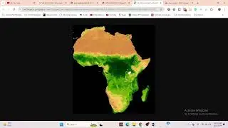
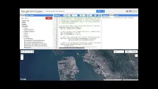
Creating Animated NDVI Thumbnails with Google Earth Engine || Earth Engine for making Animation
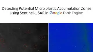
Detecting Potential Microplastic Accumulation Zones Using Sentinel-1 SAR in Google Earth Engine
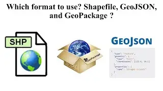
Which format to use? Shapefile, GeoJSON, and GeoPackage ?
Participants have joined from 🇧🇫 🇵🇰 🇮🇳 🇬🇭 🇬🇧 🇨🇮 🇺🇸 🇽🇰 🇸🇦 🇹🇿 🇪🇸 Upcoming batch start on 15th November
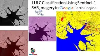
Method LULC Classification Using Sentinel-1 SAR Imagery in Google Earth Engine
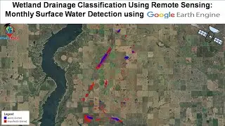
Wetland Drainage Classification Using Remote Sensing: Monthly Surface Water Detection using GEE
How to use Machine Learning to make Land use and Land Cover Classification using satellite imagery
Comment about Complete teaching Advanced Remote Sensing Analysis with Google Earth Engine from 🇮🇩
Participants have joined from 🇨🇳 🇮🇳 🇸🇦 🇳🇵 🇵🇱 🇲🇲 🇿🇦 🇻🇳 Upcoming batch start on 15th November
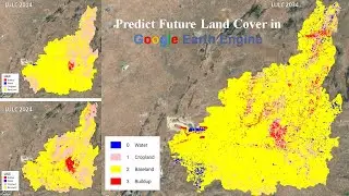
Predict Future Land Cover in Google Earth Engine
Monitoring of sea surface temperature, chlorophyll, Turbidity from 2005 to 2022 using MODIS imagery
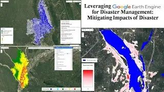
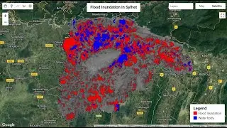
Google Earth Engine for Disaster Management: Mitigating Impacts of Flood
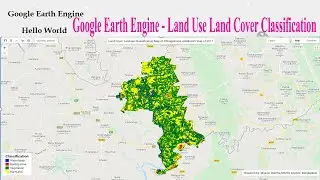
Machine Learning in Google Earth Engine: Land Use Land Cover Classification using Machine Learning
7Days Google Earth Engine Beginner’s to Advanced course in Zoom Online Class || Google Earth Engine
🛑 GEE Tutorial #1 - How to run Google Earth Engine using python API in Jupyter Notebook | GEE python
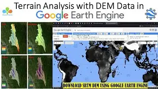
Terrain Analysis with DEM Data in Google Earth Engine
🛑Land Use and Land Cover Classification with Change detection using Machine Learning in Earth Engine
Flood Mapping using Sentinel-1 SAR data in Google Earth Engine || Flood damage assessment using GEE
How to write Python code in Google Earth Engine JavaScript API code editor || GEE chrome extension
How to calculate Average, Maximum, and Minimum NDVI in any specific region using Google Earth Engine
Google My Maps Tutorial For Beginners || How to use Google my maps
How to calculate Soil-Adjusted Vegetation Index (SAVI) in Google Earth Engine using Sentinel imagery
How to publish Earth Engine App from the Code Editor || Google Earth Engine Apps
Complete Google Earth Engine for Remote Sensing & GIS analysis for beginners to Advanced level
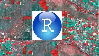
Machine Learning in R: Land Use Land Cover Image Analysis using Support Vector Machine (SVM)
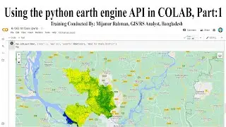
Google Earth Engine Beginner's Course using the python earth engine API in COLAB, Part:1
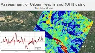
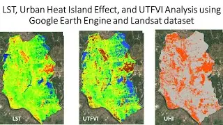
LST, Urban Heat Island Effect, and UTFVI Analysis using Google Earth Engine and Landsat dataset
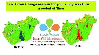
🛑How to make LANDUSE AND LAND COVER CHANGE mapping using Google Earth Engine | LULC change detection
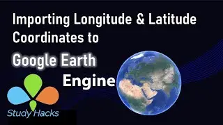
Import Latitude & Longitude Coordinates to Google Earth Engine from CSV Excel file || Earth Engine
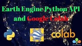
How to use Earth Engine Python API in Google Colab | Earth Engine Python API in Google Collaboratory
Supervised classification in Google Earth Engine || Land Use and Land Cover Classification
How to use Earth Engine Python API in Google Colab | Earth Engine Python API in Google Colaboratory
Water Resource Management: Monitoring Water logging and Flood Mapping using Sentinel imagery in GEE
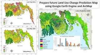
Prepare future Land Use Change Prediction Map using Google Earth Engine and ArcMap
🛑Web Mapping Tutorial with Python and Folium || Web GIS Online Training || Web Mapping using Folium
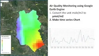
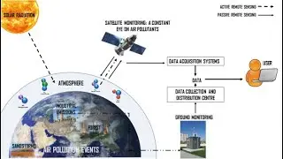
Air Quality Monitoring using Remote sensing techniques in Google Earth Engine
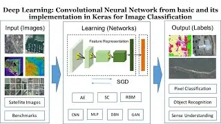
Deep Learning: CNN model from basic and its implementation in Keras for Image Classification
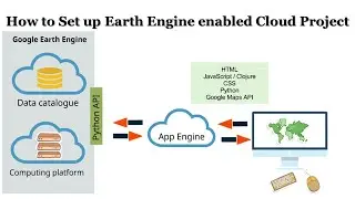
How to Set up Earth Engine enabled Cloud Project || Google Earth Engine Cloud project
🛑Big Geospatial Data Analysis with Google Earth Engine | Land use and Land cover mapping with GEE
🛑 Live Earth Engine Python API in Google Colab | How to filter Satellite Imagery and make NDVI Map
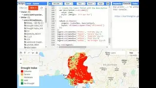
Drought Monitoring and Hazard Assessment using Google Earth Engine || VCI , TCI , VHI Mapping in GEE
Drought monitoring and prediction using SPI, SPEI, and random forest model in Google Earth Engine
How to filter, display and Download Landsat 9 images from the Google Earth Engine ?
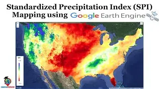
Standardized Precipitation Index (SPI) Mapping using Google Earth Engine | Drought Monitoring in GEE
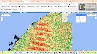
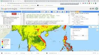
Drought Monitoring and Assessment using Google earth engine
10 Days Google Earth Engine Beginner’s to Advanced Course In Zoom Online Class || GEE Course online
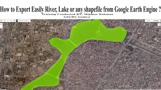
How to Export Waterbodies, Lake, or any shapefile from Google Earth Engine? Export shapefile in GEE
Future Prediction LULC using Google Earth Engine , IDRISI Selva V.17 , QGIS Molusce plugin , Terrset
How to make Land use and Land cover Change detection using Google Earth Engine for big region || GEE
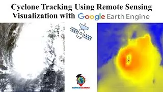
Cyclone Tracking Using Remote Sensing: Visualization with Google Earth Engine
Topographical Mapping: DEM , Hill shade, Slope, Aspect, Contour, 3D Map using GEE with Arcmap
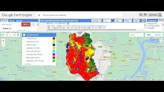
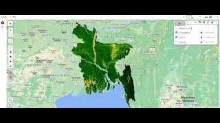
Land use Land cover change Using Google Earth Engine
🛑Live Google Earth Engine Filtering and Displaying Satellite Images: Landsat, Sentinel using GEE
Change detection using Google Earth Engine || Land use and Land cover change detection using GEE
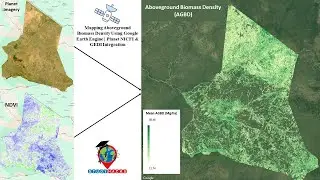
Mapping Aboveground Biomass Density Using Google Earth Engine | Planet NICFI & GEDI Integration
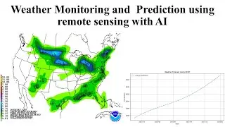
Weather Monitoring & Prediction using remote sensing with AI | Weather Forecasting using GEE & LSTM
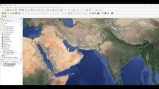
How to Add Google Maps & Google Satellite as a Base Layer in QGIS
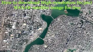
🛑How to download High-resolution (0.3m) MAXAR satellite image for free, From OpenAreialMap & use GEE
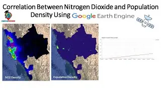
Mapping Air Quality Using Remote Sensing Technology: Google Earth Engine
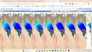
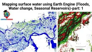
Mapping surface water using Earth Engine (Floods, Water change, Seasonal Reservoirs)-part: 1