27 тысяч подписчиков
609 видео
Download Aquifers Maps of India | India WRIS Website | Raster Format (GIS)
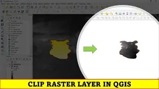
QGIS Tutorials 48: Clip Raster in QGIS | Clip Raster by Mask Layer
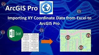
Importing XY Coordinate Data from Excel to ArcGIS Pro | Excel to Shapefile
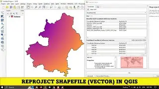
Reproject Shapefile (Vector layer) in QGIS | Absolute Beginners
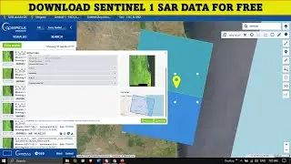
Downloading Sentinel 1 SAR data for Free | 2024 - Copernicus Data Space Ecosystem
Introduction to Remote Sensing: How Can Satellite Images be Interpreted and Used | Part 12
QGIS Tutorials 33: How to create fixed buffer in QGIS | Beginners | QGIS 3.22
Mastering Map Layouts in ArcGIS Pro | A Step-by-Step Tutorial | Beginners
How to Create Point Buffer in QGIS
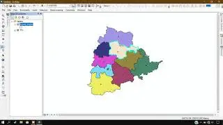
How to Split and Merge Polygon in QGIS
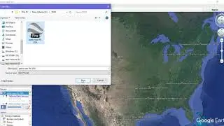
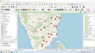
Save Searched Location from Google Earth & Convert to Shapefile
Convert Line feature to Polygon using ArcGIS
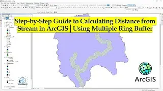
Calculating Distance from Stream with ArcGIS | Multiple Ring Buffer | 2023
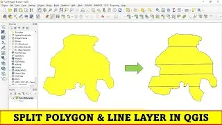
QGIS Tutorials 41: Split Polygon & Line layer | QGIS
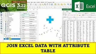
QGIS Tutorials 32: Join Excel data to attribute table in QGIS | Beginners | QGIS 3.22 | Table Join
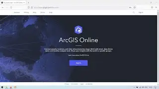
Getting Started to ArcGIS Online | Overview 2022
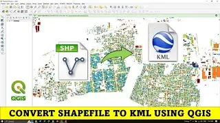
QGIS Tutorials 12A: Convert Shapefile to kml using QGIS
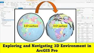
Exploring and Navigating 3D Environment in ArcGIS Pro |
Digitizing Scanned Topographic Map Using ArcGIS 10.3 ( Point, Line & Polygon )
Analysing Fish Species Distribution on Forest Land with Intersect Tool in ArcGIS | Intersect Tool
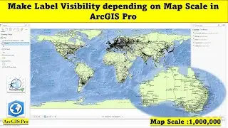
Make Label Visibility depending on Map Scale in ArcGIS Pro
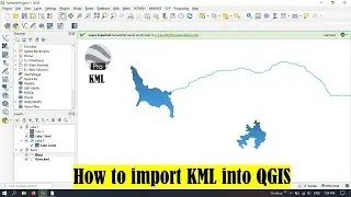
QGIS Tutorials 12: How to import KML into QGIS | Beginners
Introduction to Groundwater Flow Modeling: Overview of GMS Software | Part 7
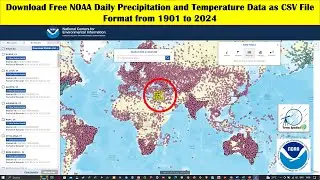
Download Free NOAA Daily Precipitation and Temperature Data as CSV File Format from 1901 to 2024
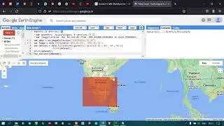
How to Load Sentinel 2 imagery in Google Earth Engine | Beginners Guide
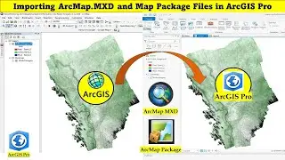
Importing ArcMap MXD and Map Package Files in ArcGIS Pro
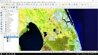
QGIS Tutorials 50: Band Combinations in Landsat 8 | Change Band Combination
QGIS Tutorials 30: Labeling in QGIS | Beginners | All about Labeling | Beginners | QGIS 3.22
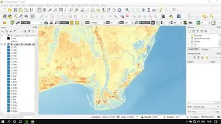
Automatic Estimation of Land Surface Temperature (LST) using SCP Plugin in QGIS with Landsat
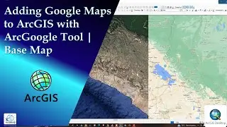
Adding Google Maps to ArcGIS | ArcGoogle | Base Map
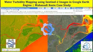
Water Turbidity Mapping using Sentinel 2 Images in Google Earth Engine | Mahanadi Basin Case Study
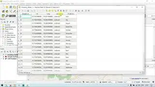
Convert excel file to shapefile in QGIS | XY Coordinate to Shapefile
Extract feature from Shapefile in ArcGIS - ArcGIS for Beginners
Joining Data: Join one layer attribute to Another layer | QGIS
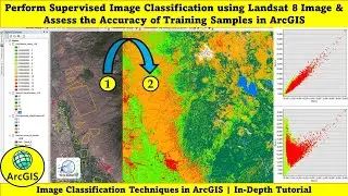
Supervised Image Classification using Landsat 8 & Assess the Accuracy of Training Samples in ArcGIS
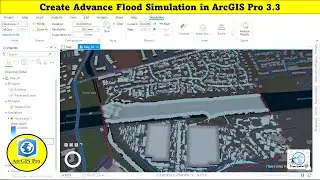
Create Advance Flood Simulation in ArcGIS Pro 3.3
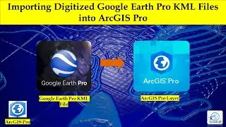
Importing Digitized Google Earth Pro KML Files into ArcGIS Pro
Label Features in ArcMap - ArcGIS For Beginners
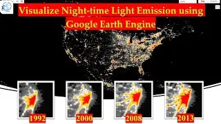
Visualize Night-time Light Emission using Google Earth Engine | NOAA | DMS OLS
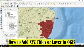
QGIS Tutorials 14: How to Add XYZ Tiles in QGIS | QGIS Beginners
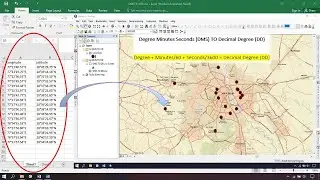
How to convert DMS TO DD and export into shapefile using Excel & ArcGIS - 2021
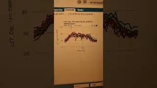
Analysing Decadal Land Surface Temperature (LST) Trends
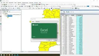
ArcGIS: Export Attribute Table and Convert it to Excel file
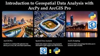
Introduction to Geospatial Data Analysis with ArcPy and ArcGIS Pro
Convert Shapefile to Kml
QGIS Tutorials 36: How to use Merge tool in QGIS | Beginners | QGIS 3.22 | Merging Shapefiles
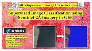
Supervised classification using Sentinel 2A Imagery | Google Earth Engine
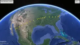
Convert Multiple Locations plotted in Google Earth Pro to Shapefile
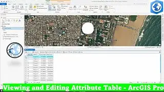
Viewing & Editing Attribute table in ArcGIS Pro | Tutorial 5
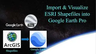
How to Import and Visualize ESRI Shapefiles in Google Earth Pro
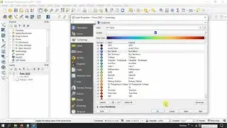
QGIS Tutorials 28: Using Categorized Symbology in QGIS | Symbolize Vector Data | Vector Styling